
The Ghana Geological Survey Authority (GGSA) has recorded a major milestone in its efforts to strengthen the country’s geoscience sector, following the coming into force of seven Legislative Instruments (L.Is) designed to regulate geological activities and improve accountability.
The regulations, which took effect on August 26, 2026, after completing the mandatory 21 parliamentary sitting days, give practical effect to the Ghana Geological Survey Authority Act, 2016 (Act 928).
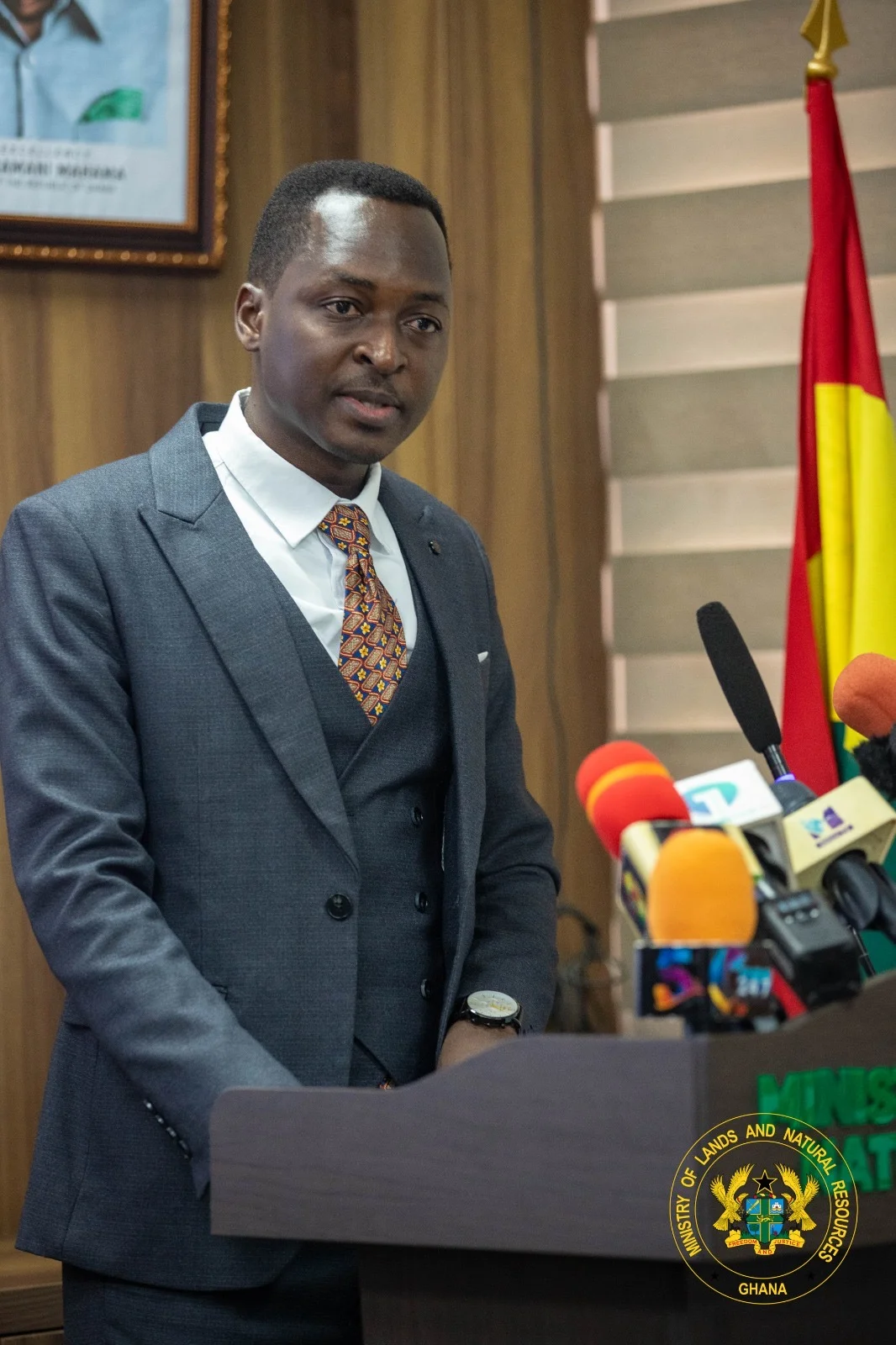
Speaking on the Authority’s achievements at the forth Progress Series at the Ministry, Director-General, Dr. Prosper Akaba, described the passage as one of the most significant developments of the year.
The seven instruments establish standards for geological mapping, earthquake monitoring and seismic investigations, access to geological information, ground investigations, geoscientific practice, the protection of geological heritage sites and mineral exploration up to the pre-feasibility study stage.
Dr. Akaba said the regulations would bring greater order and accountability to geoscientific activities, protect the quality of geological data used in national planning and investment decisions, and strengthen the Authority’s capacity to generate revenue.
He urged mining and exploration companies, local government authorities, research institutions, real estate developers and geoscience practitioners to familiarise themselves with the new requirements and comply with them.
Another significant achievement was the modernisation and commissioning of Ghana’s National Seismological Network in June 2026 by the Minister for Lands and Natural Resources, Emmanuel Armah-Kofi Buah. The upgrade restored real-time transmission and monitoring of seismic activities and improved dam safety monitoring systems, addressing years of deterioration in the country’s earthquake monitoring infrastructure.
The Authority also completed a seismic hazard assessment covering the Ga South, Ga West and Ga North areas to provide critical information for land-use planning and development in some of the country’s seismically active communities. Dr. Akaba noted that reliable early information was essential to protecting lives, property and critical infrastructure.
The Authority has also completed all 48 targeted district mineral occurrence maps, providing local authorities and investors with information on mineral potential across the country, while clarifying that the maps do not represent confirmed mineral reserves.
Beyond its field investigations, the GGSA is strengthening its institutional capacity through a seven-year strategic plan, a revised organisational structure and the development of key policy documents. It has also begun improving its regional infrastructure, completed renovation works at its Bono Regional Office in Sunyani and advanced construction of its Eastern Regional Office in Koforidua to about 70 per cent. Partnerships with academic and public institutions are supporting staff development, while a US$250,000 software and training donation from Seequent is expected to improve geological modelling and data management.
Looking ahead, Dr. Akaba said the Authority would continue mineral exploration, earthquake monitoring, geohazard mapping and public education, while working with small-scale miners, investors, District Assemblies and other stakeholders to ensure that reliable geological information informs responsible mining and national development.